SYNERGYS TECHNOLOGIES first performs an implementation study of the installations based on survey maps, profiles of lines and satellite geographical maps like “GoogleEarth” when the level of definition of the affected area allows.
A draft of the camera positioning places is developed to estimate the accessibility and travel time to optimize travel, knowing that this forecast is subject to change according to the field reality.
Except in special cases, the operation proceeds as follows:
- Arrival on site chosen point. Positioning and deployment of equipment, camera and external monitor tripod and other miscellaneous materials,
- Quick Scanning of the section, adjustment of several parameters and estimate of the number of corona active points depending on the corona activity level.
- Precise determination of the corona active points
- Tripod mounted CoroCAM aiming the selected active points
- Recording of the corona activity on every active points,
- Geographical location by different methods such as GPS position (pylons, camera, plumb line compared to ground references), the distance from the lines of elements such as balls or spacers, statement of the angular position of the camera relative to the first pylon .
- Visual observation of active points with the digiscope. Taking of additional detailed photos
- Taking notes associated with the location and documentation of the defaults
Performing an inspection report
- Description of the context, location, aso
- Description of the camera positioning points
- Results of measurements taken from video sequences
- Photos and videos associated with measurements
- And synthesis in comment form associated with each selected point of activity.
Equipment used
- CoroCAM 6D and 7 CoroCAM
- Technicians: 2 highly qualified technicians with many years of experience
- Reference: RTE France

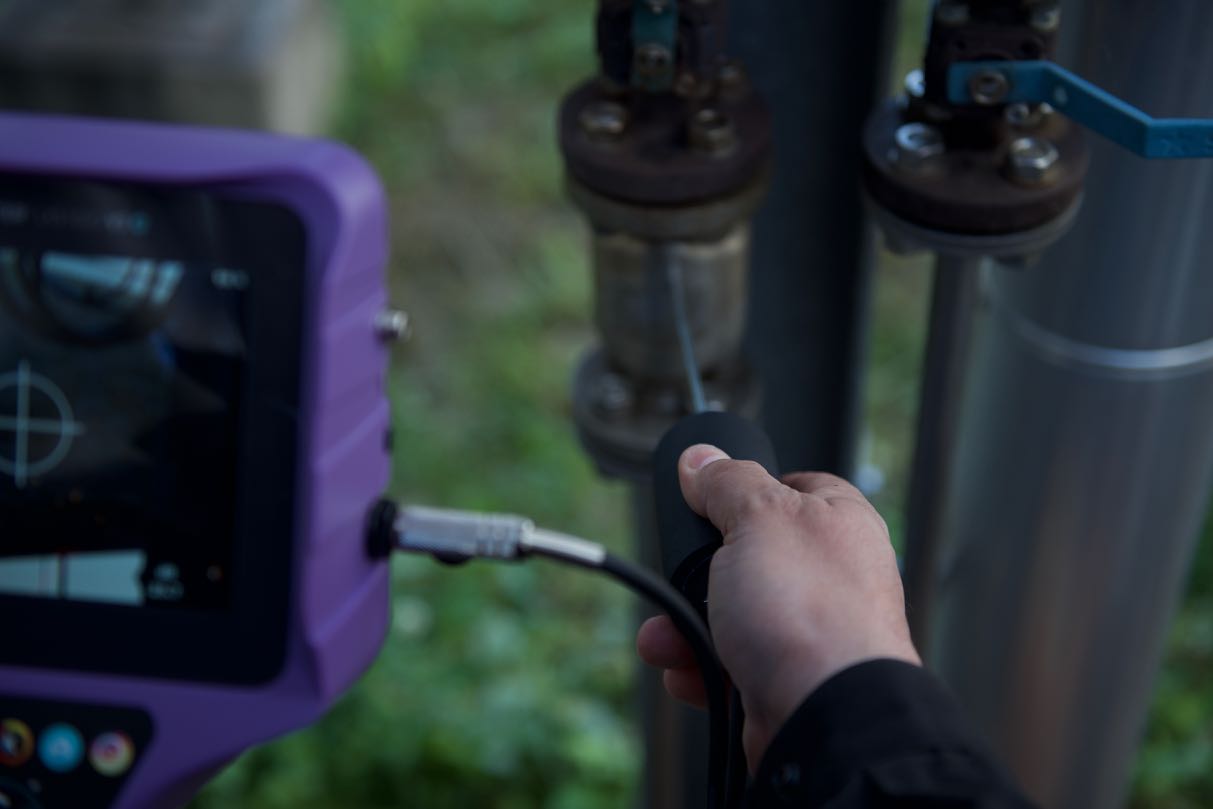
 Ultrasonic inspection
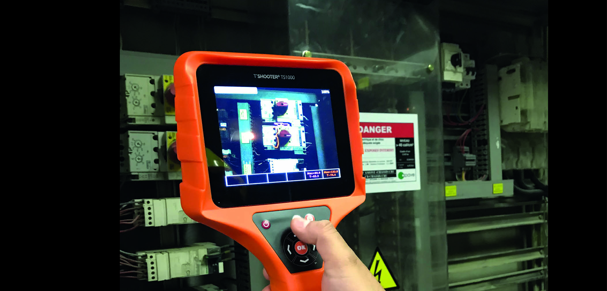
  Temperature inspection
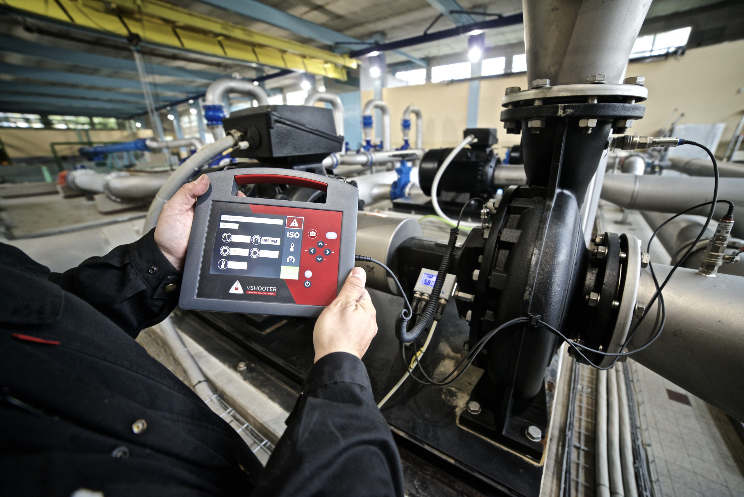
  Vibration analysis
  Temperature inspection
  Steam traps monitoring